Skip to content
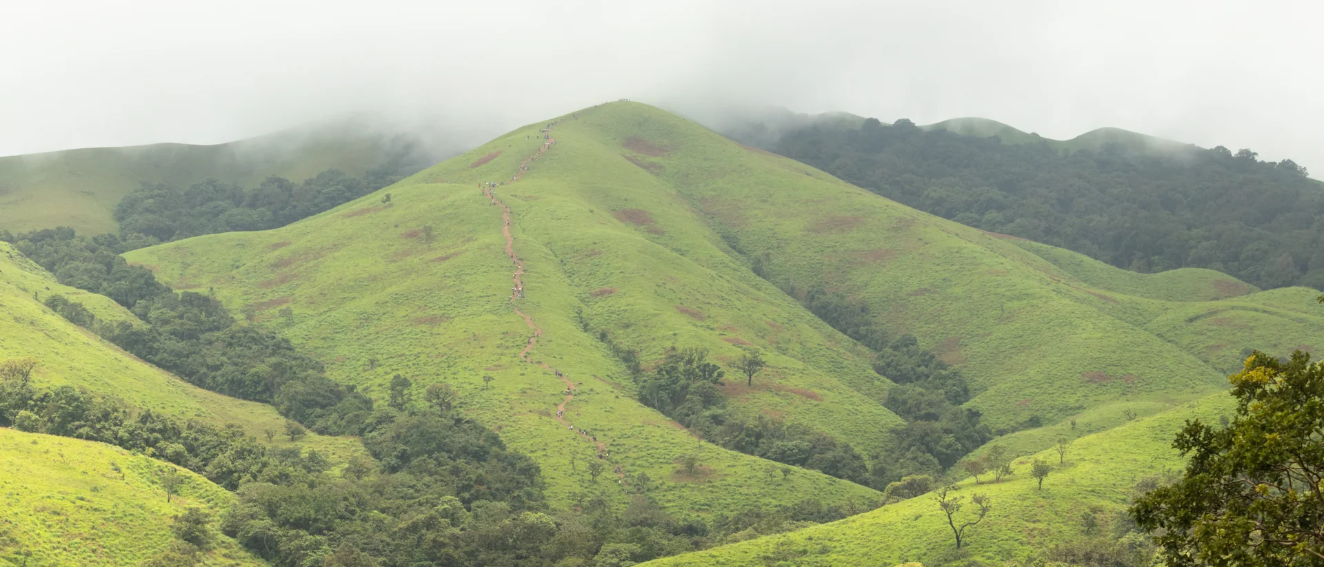
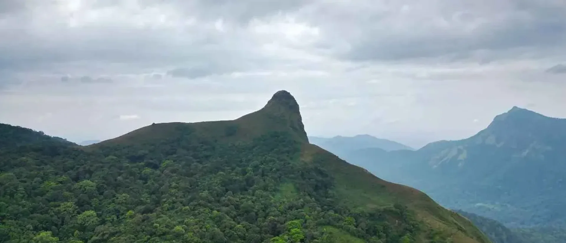
The ox-shoulder ridge of Ettina Bhuja, seen across the Western Ghats
Chikmagalur Mudigere Charmadi Ghat

Ettina Bhuja Trek: Route, Permit & Best Season

Moderate Best time: September to February6 min read
Overview

Overview

"Ettina Bhuja" — ox's shoulder in Kannada — names itself: the peak's summit ridge, seen from a distance, genuinely reads as the hump of a bull. It rises from the Charmadi range in the Mudigere range of Chikmagalur district, close to the temple town of Dharmasthala, and starts from Sri Nanya Bhairaveshwara Temple in Byrapura village, about 4 km away.

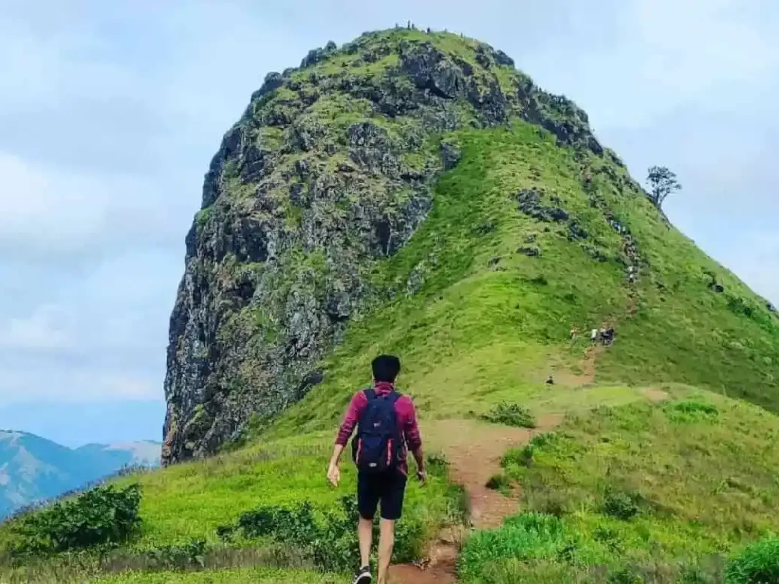
It is a short trek by distance — 4 to 5 km round trip — but a steep one, and the panoramic ridge-top views over the Western Ghats are exactly what draws repeat visitors. A local guide is strongly recommended even though the distance is modest; the upper stretch has exposed rock sections climbing at close to 80 degrees.

Local legend holds that the Pandavas of the Mahabharata sheltered here during their exile, with caves on the hillside said to have served as their dwelling. The surrounding forest is also home to elephants, Sambar deer, and birdlife including the Malabar whistling thrush — sightings aren't guaranteed, but it's genuinely wild terrain, not a manicured trail.
Elevation

~1,300 m (4,265 ft)

Distance

4–5 km round trip

Duration

3–4 hours

Base village

Byrapura, near Dharmasthala

Day by day

Itinerary

  1. Byrapura to the summit and back

    Day 1

    Byrapura to the summit and back

    4–5 km3–4 hours

    • Start from Sri Nanya Bhairaveshwara Temple in Byrapura village: roughly 800 m and 15 minutes to the forest entrance, another 600 m (15–20 minutes) to a second viewpoint, then a final 700 m (about 30 minutes) to the summit.
    • Budget roughly 1.5 hours up, an hour at the summit for the views and a break, and an hour back down.
    • The final approach to the ox-shoulder ridge has rock sections that need care, especially if the rock is wet.
Before you go

Costs & entry/exit rules

Costs

  • Adults (18+), weekday₹250 per person
  • Adults (18+), weekend₹300 per person
  • Teenagers (12–18), weekday₹100 per person
  • Teenagers (12–18), weekend₹150 per person
  • Children under 12Confirm locally

    Rates for this age band weren't consistently listed — check at the counter.

Entry & exit

Forest permit required

Open 7:00 AM to 4:00 PM. Start early enough to be off the exposed ridge sections well before any afternoon weather turns.

  • Book via the Aranya Vihaara portal in advance.
  • A local guide is strongly recommended for the rocky upper stretch, even though the trek is short.

Required documents

  • A valid government photo ID for every trekker
  • Your Aranya Vihaara permit confirmation
What to carry

Packing list

Trekking shoes with good rock grip and ankle support 1–2L of water A cap and sun protection for the exposed ridge A light rain jacket in season A basic first-aid kit and insect repellent Trekking poles for the steep final stretch
Photos
Questions

Frequently asked questions

"Ettina Bhuja" means "ox's shoulder" in Kannada — a name earned honestly by the shape of the summit ridge when seen from a distance.

Book direct

Where to stay for this trip

Astagiri Homestay — the valley from the deck
Valley view Meals included
4.7 out of 5, 88 reviews

Plantation country, Mudigere, Mudigere

Astagiri Homestay

Valley views and plantation air, an hour off the highway

A plantation homestay on high ground, where the valley opens out below the deck and the evening is measured by how long the light lasts.

  • Valley view
  • Plantation stay
  • Campfire

2 guests1 bedrooms1 bathsHomestay

₹2,500 ₹5,800 / night

View Details

Basing yourself in the Mudigere range for this trek? Astagiri Homestay sits in the same general area as the Byrapura trailhead.

Keep exploring
The marked trekking trail climbing Nethravati Peak, Kudremukh National Park
Chikmagalur Kudremukh Samse

Trek guide 7 min read

Nethravati Trek Guide: Itinerary, Permits, Charges & Best Time

A 14 km round trip through shola forest and open grassland inside Kudremukh National Park, ending on a ridge with views across the Western Ghats.

September to May — trails turn slippery and leech-heavy during the June–August monsoon

Read guide
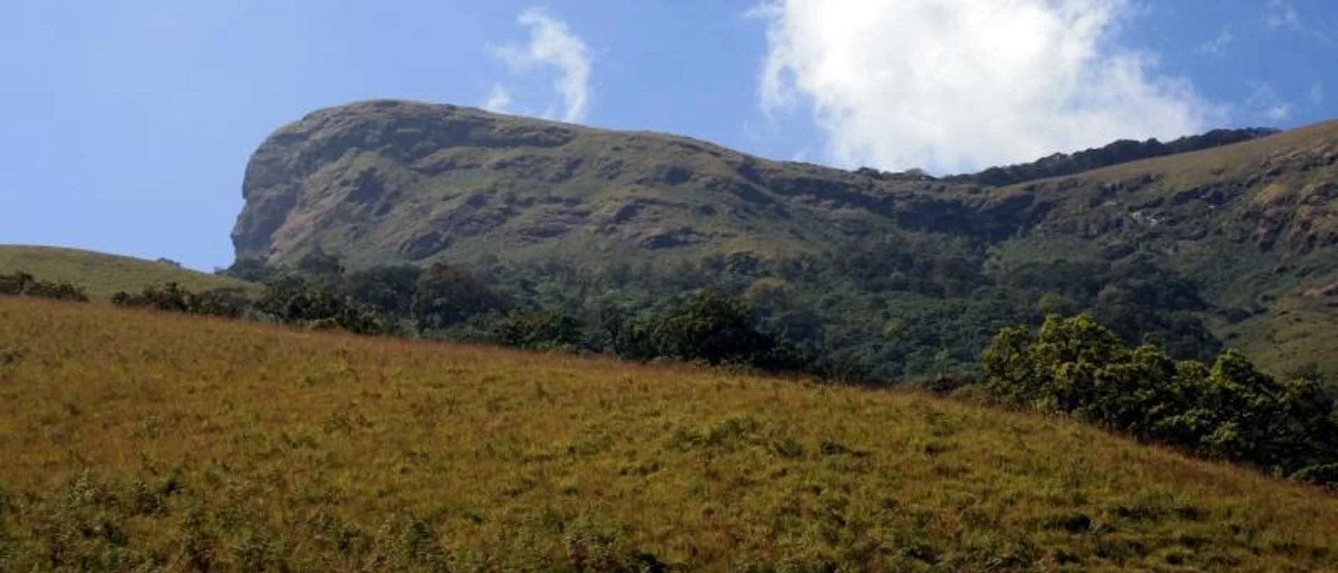
The horse-face summit ridge of Kudremukh Peak, seen from the approach trail
Chikmagalur Kudremukh Mullodi Samse

Trek guide 7 min read

Kudremukh Peak Trek: Permit, Route, Cost & Best Time

An 18 km round trip to Karnataka’s second-highest peak, through Shola forest and rolling grassland from the hamlet of Mullodi.

September to May — the Forest Department restricts access during the heaviest monsoon months

Read guide