Skip to content
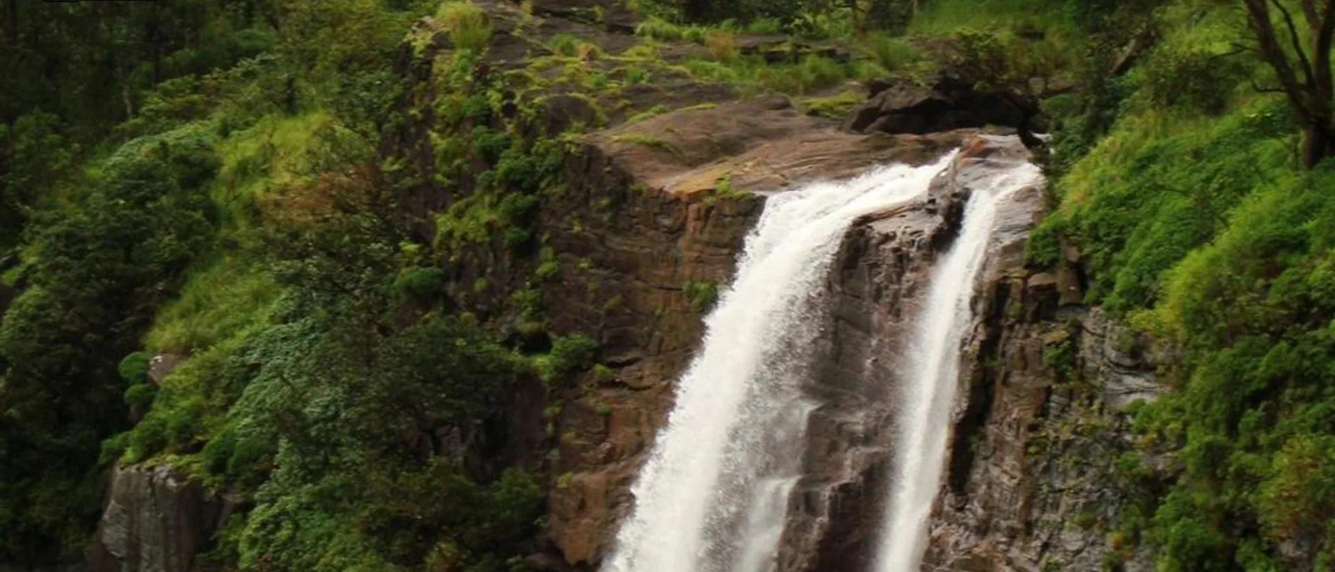
Bandaje Arbi Falls dropping through the Charmadi Ghat forestSumesh Always (Public domain), via Wikimedia Commons
Chikmagalur Dakshina Kannada Charmadi Ghat

Bandaje Falls Trek: Ballalarayana Durga Fort, Permits & Itinerary

Moderate Best time: Monsoon and post-monsoon, July to December, when the falls are at their fullest7 min read
Overview

Overview

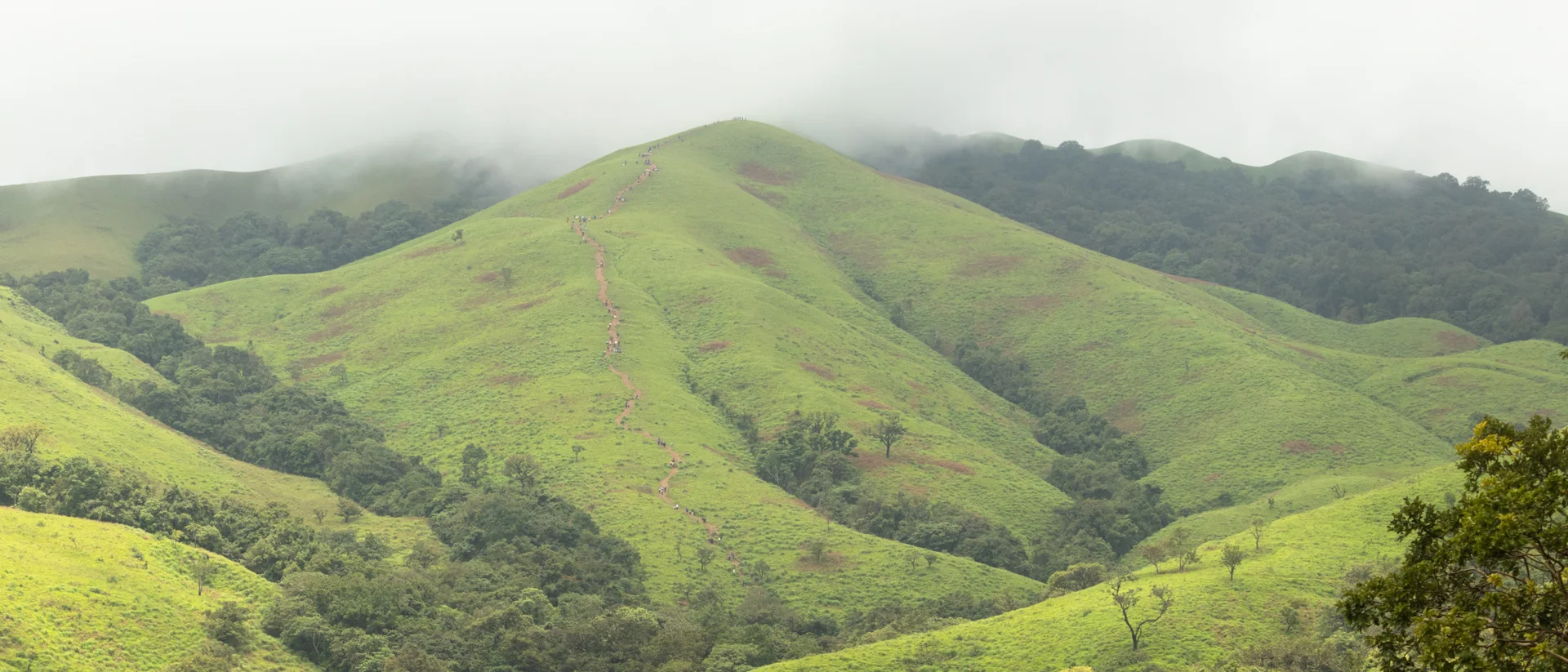
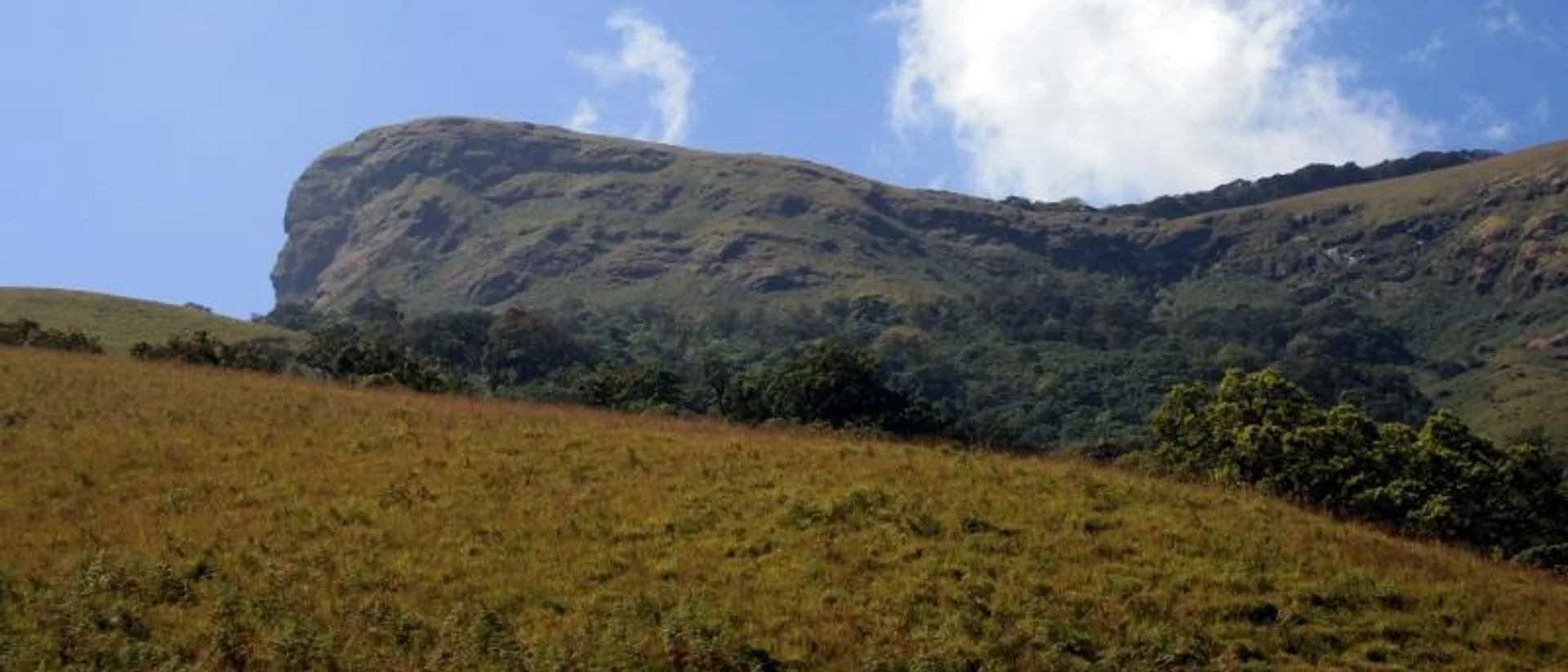
The Bandaje Falls trek — also called the Ballalarayana Durga trek, after the ruined hilltop fort roughly midway along the route — climbs through the Kudremukh forest range on the Chikmagalur/Dakshina Kannada border, in the Charmadi Ghat section of the Western Ghats. The fort is said to have been built in the 12th century under the Hoysala Empire, in the Karnata-Dravida architectural style typical of that period. "Arbi" means waterfall in the local language, which is why "Bandaje," "Bandaje Arbi" and "Bandaje Falls" are all used for the same place — a waterfall formed by a tributary of the Nethravati river, dropping from around 700 m above sea level.

It is a longer day than Nethravati — roughly 18 km there and back, most groups budgeting 7–8 hours on the trail — and mixes shola forest, grassland and a genuinely steep pull up to the fort ruins before the descent to the falls. Sources differ on how it should be rated: several operators pitch it as beginner-friendly with some preparation, but the distance and duration put it a notch harder than a first trek. Go in reasonably fit, not as your introduction to trekking.
Distance

~18 km round trip

Duration

7–8 hours

Landmark

15th-century Ballalarayana Durga Fort ruins

Difficulty

Moderate

Day by day

Itinerary

  1. Day 1

    Day 1

    Reach the base village

    • The trailhead is reached via the Charmadi Ghat road, near Ujire in Dakshina Kannada — most groups drive up the evening before and stay at a base-village homestay.
    • Confirm your Aranya Vihaara permit and check the trek is open — the Forest Department can restrict access when the ghat road or the fort ascent turns hazardous in heavy rain.
  2. Fort, forest and the falls

    Day 2

    Fort, forest and the falls

    18 km7–8 hours

    • Start by around 6:00 AM. The trail climbs steadily through shola forest to the Ballalarayana Durga Fort ruins, with wide views back down the ghat.
    • From the fort, continue down and across to Bandaje Arbi Falls — the section with the least signage on the route, which is why a local guide is strongly recommended.
    • Return the same way, aiming to be off the trail before dusk; the descent from the fort after dark is genuinely unsafe and phone coverage disappears deep in the ghat.
Before you go

Costs & entry/exit rules

Costs

  • Forest entry / conservation feeBooked via the Aranya Vihaara portal

    The fee is set and revised by the Karnataka Forest Department — check the portal for the current amount before you book.

Entry & exit

Forest permit required

Start by around 6:00 AM from the base village. Plan to be back off the trail before dusk — the fort-to-base descent after dark is not safe.

  • Book only through the official portal, aranyavihaara.karnataka.gov.in — avoid third-party resellers.
  • The Forest Department can close the trek at short notice during heavy monsoon; confirm it is open before you travel.
  • A local guide from the base village is strongly recommended for the fort-to-waterfall stretch, which has several unmarked forks.

Required documents

  • A valid government photo ID for every trekker
  • Your Aranya Vihaara permit confirmation, printed or downloaded
What to carry

Packing list

Trekking shoes with strong grip — the fort climb is steep and often wet A trekking pole, genuinely useful on the descent 20–30L daypack, rain cover included in monsoon season At least 2–3L of water — there are fewer reliable refill points than on shorter treks A full change of dry clothes for the return drive Anti-leech socks or salt for the monsoon months Packed meals — nothing is sold on the trail
Who to call

Vendor contacts

Charmadi Ghat base-village trek guides

Local trekking guide for the fort-to-waterfall stretch

Charmadi Ghat base-village trek guides

Contact number not confirmed yet — verify locally before travelling.

Questions

Frequently asked questions

Moderate, but longer than most first treks — roughly 18 km and 7–8 hours, with a steep climb to the fort. Go in with some prior trekking fitness rather than as your first hike.

Book direct

Where to stay for this trip

CAMP ALPHA — tents on the ridge at first light
Camping Bonfire nights
4.5 out of 5, 167 reviews

Ridge country outside Chikmagalur, Chikmagalur

CAMP ALPHA

Tents on a ridge, with the Ghats for a horizon

A ridge-top campsite with proper tents, a nightly bonfire and a horizon made entirely of Western Ghats — closer to camping than to a resort, and priced like it.

  • Ridge and valley views
  • Nightly bonfire
  • Treks from camp

2 guests1 bedrooms1 bathsHomestay

₹1,600 ₹2,600 / night

View Details

Want an outdoorsy, trek-adjacent stay for this trip? Camp Alpha Chikmagalur suits an early-start, muddy-boots kind of weekend.

Keep exploring
The marked trekking trail climbing Nethravati Peak, Kudremukh National Park
Chikmagalur Kudremukh Samse

Trek guide 7 min read

Nethravati Trek Guide: Itinerary, Permits, Charges & Best Time

A 14 km round trip through shola forest and open grassland inside Kudremukh National Park, ending on a ridge with views across the Western Ghats.

September to May — trails turn slippery and leech-heavy during the June–August monsoon

Read guide
The horse-face summit ridge of Kudremukh Peak, seen from the approach trail
Chikmagalur Kudremukh Mullodi Samse

Trek guide 7 min read

Kudremukh Peak Trek: Permit, Route, Cost & Best Time

An 18 km round trip to Karnataka’s second-highest peak, through Shola forest and rolling grassland from the hamlet of Mullodi.

September to May — the Forest Department restricts access during the heaviest monsoon months

Read guide